
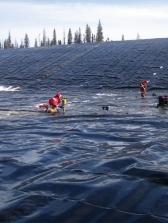

3D Scanning Terrestrial
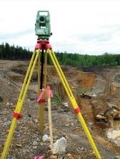
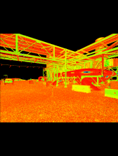
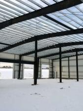
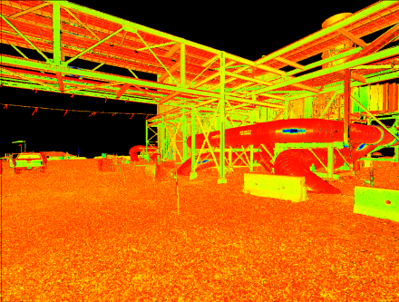
3D Laser Scanning captures and produces large quantities of accurate point data, creating a point cloud which can be used on its own for analysis or to be used to create a 3D model.
A Point Cloud is an exact representation of the given object or structure at that point in time, making it extremely useful for design and construct purposes. Tryon's instruments can capture up to 2,000,000 points per second and take 360° high-definition images, resulting in a fully colourised point cloud.
Typical deliverables include, but are not restricted to: .pts, .ptx, .ptg, .rcs, .rcp, .txt, .xyz.
Using point cloud data collected in the field, Tryon can create impressive 3D models and meshes, providing our clients with complete 3D information to enable the progress of design for the given project.
Utilizing the latest Leica high-definition scanners and a suite of state of the art software, Tryon is ready to work on any project in architectural and structural 3D scanning and modelling.
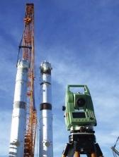
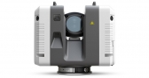
Leica RTC360 Laser Scanner
The Leica RTC360 laser scanner makes 3D reality capture faster than ever before. With a measuring rate of up to 2 million points per second and advanced HDR imaging system, the creation of coloured 3D point clouds can be completed in under 2 minutes per setup. The scanner allows for automated targetless field registration which facilitates a seamless, automated transfer of data from site to office. This contributes to reduced time spent in the field and further maximizes productivity.
Value Added Service
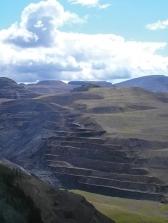
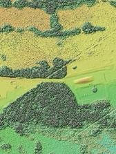
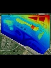
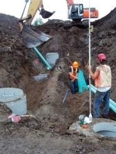
Our 3D geospatial technologies can provide powerful planning and design data at a cost saving to the client. We can survey existing infrastructure and map landscapes at a fraction of the time it would take previously using traditional techniques. By using scanning and photogrammetric solutions we safely survey difficult or dangerous to access locations. There are a number of solutions we can provide that will benefit our clients with:
- Point cloud data for engineering design of facilities
- Virtual as-builts with walk through models
- Assessment of current site conditions
- Infrastructure mapping and geo tagging
- Site selection and planning
- Digital Data warehouse of company assets
- Increased efficiency and cost savings for projects
- Inspection of structures