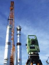
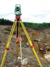

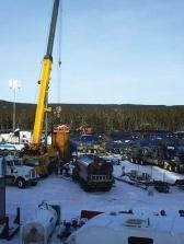
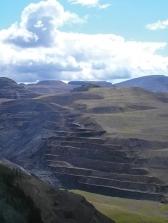
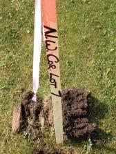
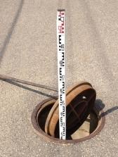
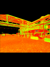
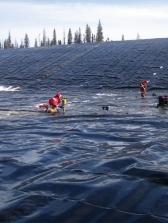
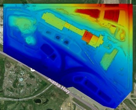

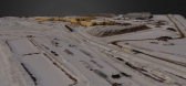
Tryon’s UAV captures large volumes of data accurately, quickly and with high resolution. The flight imagery allows us to output an assorted range of data for analysis. We offer a wide range of Unmanned Aerial Vehicle (UAV) operations.
- Aerial Photogrammetry
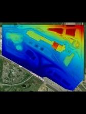
- Earthworks mapping & volume calculations
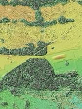
- Topographic survey & terrain mapping
- Construction survey & site monitoring
- Quality control
- Project planning
- Inspecting Structures