


We have experience in harnessing GIS tools to support the needs of many sectors including Oil & Gas, Forestry, Recreation, First Nations, Tourism, Transportation and Environmental.
Cartography:
We have base maps ready to plot, and can generate custom maps to suit your needs.
Planning and Approvals:
- Crown Land Applications
- Emergency Response
- Oil & Gas Development
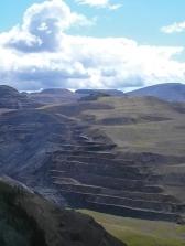
- Natural Resource Extraction
- Watershed Analysis
- Stakeholder Consultation
Thematic:
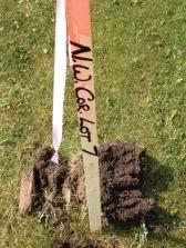
- Cadastre and Land Ownership
- Topographic, Recreation
- Hunting, Fishing
- Travel, Tourism, Advertising
Map Series:
- Topographic Wall maps of Northeast BC
- Topographic Atlas of Northeast BC
GIS Services:
- Geocoding ( Address Mapping)
- Site Selection
- Data Modelling
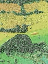
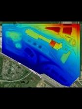
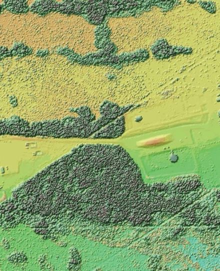
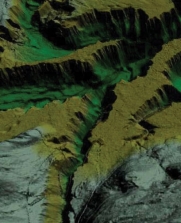
- Terrain Modelling
- Viewshed, Overlay and Proximity Analysis
- Network and Hydrological Analysis